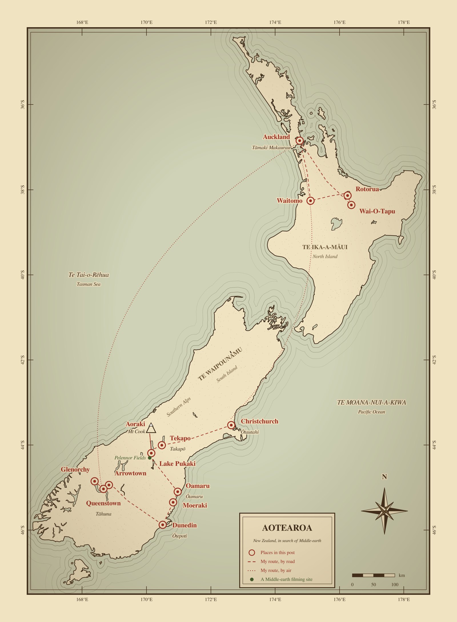
 New Zealand, drawn for this post in the style of an old map. Māori names are in italics; the green dot marks a Middle-earth filming site on my route. Coastlines and lakes are approximate.
This was a trip to look for myself. I wanted to be somewhere far, far away, and New Zealand, the land I had always wanted to see, was about as far as I could go. So I treated it the way the books treat a road: as a journey, from one place to the next, in search of Middle-earth. I did not expect to find hobbits. I wanted to walk through the landscape that had stood in for a world I had only imagined.
The route ran the way the story does: out across the ice and stone of the South Island, and home through the fire of the North. Each leg turned out to have something to teach. The Mackenzie Country taught me perspective, the Otago coast patience, and the lakes around Queenstown that the story was real but quieter than the films. The volcanoes of the North Island taught me that the ground under all of it is still being made. So I have written it up by place, with the geology, the history, and the food folded in where I met them.
A Young Land, and Every Landscape but One
Two ideas help with almost everything a visitor sees in New Zealand.
The first is that the country is young and restless. It sits on the boundary between the Pacific and Australian plates, and most of it is the exposed top of a largely submerged continent that geologists call Zealandia. In the South Island the boundary runs along the Alpine Fault, about 600 kilometers long, and the Southern Alps have been pushed up along it over the last 12 million years. In the North Island the same collision feeds volcanoes and hot springs. People came late, too: Polynesian voyagers arrived around 1250 to 1300, which makes New Zealand one of the last major land areas on Earth to be settled. Their descendants, Māori, gave the country the name now often used beside the English one, Aotearoa, and the islands their own names: Te Waipounamu for the South and Te Ika-a-Māui, “the fish of Māui,” for the North.
The second idea is what that restlessness produces. In nine days I saw glaciers, alpine lakes, braided rivers, tussock plains, beech forest, a coast of stone spheres, volcanic craters, and pools of boiling mud. New Zealand seemed to hold every kind of landscape I could think of except one. It has no true desert. Its neighbor makes up for that: Australia’s ten named deserts cover about 18 percent of its mainland, and about 35 percent of the continent gets so little rain that it is effectively desert. Even New Zealand’s nearest thing to a desert, the Rangipo on the Central Plateau, gets 1,500 to 2,500 millimeters of rain a year; it only looks barren because of volcanic soil and drying winds. That made it convincing as the plains outside the Black Gate of Mordor, which were filmed there in 2000. Only in New Zealand would Mordor be too wet to qualify as a desert.
The comparison with Australia runs further. Australia is famous for things that can kill you. New Zealand has no land snakes, no scorpions, and no venomous insects; its one native venomous spider, the katipō, is rare, shy, and lives in coastal dunes. For a traveler who wants to walk off the path and sit in the grass, that is a real difference.
The films used all of this. Peter Jackson shot the three Lord of the Rings films together in his native New Zealand, in 274 days of principal photography between October 1999 and December 2000, at more than 150 locations across both islands. Most of the sites I passed are listed below. The dashes are honest: I did not reach Hobbiton or Mordor on this trip.
Middle-earth, and Where I Stood
| In the films | Filmed at | Where I was |
|---|---|---|
| The Shire (Hobbiton) | Matamata, Waikato | — |
| Pelennor Fields | Farmland near Twizel | Lake Pukaki, a few minutes’ drive north |
| Ford of Bruinen | The Arrow River at Arrowtown | Arrowtown |
| The Misty Mountains, opening of The Two Towers | The slopes of Mt Earnslaw | Bennetts Bluff and Glenorchy, in view of the mountain |
| Ithilien | Twelve Mile Delta, Lake Wakatipu | The Glenorchy road, which runs past it |
| Isengard and Lothlórien | The Dart valley and Paradise, beyond Glenorchy | Glenorchy, at the edge of both |
| Mordor and the Black Gate | The Rangipo Desert | — |
| The props, armor, and creatures | Weta Workshop | Weta Workshop Unleashed, Auckland |
The Mackenzie Country: Sky, Ice, and Perspective
Wed 14–Fri 16 Aug · Christchurch, Tekapo, Aoraki/Mt Cook, Lake Pukaki · Days 1–3
I flew overnight to Auckland and on to Christchurch. The first kiwi I saw in New Zealand was on a billboard at the baggage claim, selling a retirement savings plan. It was also the last.
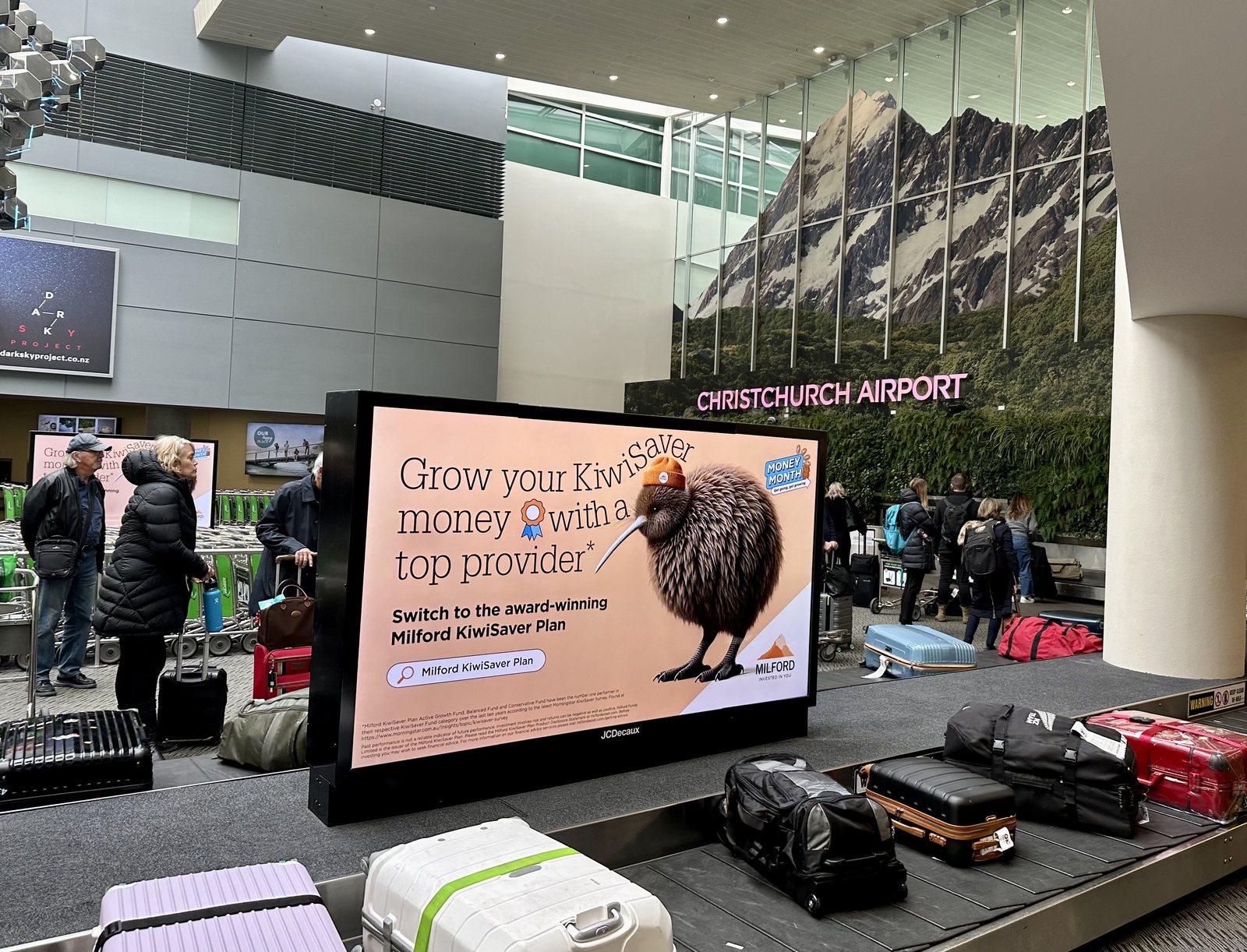 Christchurch Airport. The only kiwi of the trip, working in financial services.
From Christchurch the road runs west across the flat Canterbury Plains, then climbs into the Mackenzie Basin, a high, wide bowl of tussock with the Southern Alps along one side. It was mid-August, late winter in the Southern Hemisphere, and everything above the basin was white.
Tekapo: A Sky Kept Dark on Purpose
Tekapo sits at the edge of the Aoraki Mackenzie International Dark Sky Reserve, created in 2012 and covering about 4,367 square kilometers, where outdoor lighting is controlled so that the night stays dark. That first night the Milky Way was clear enough to photograph with a phone, and the clouds that drifted across it looked bright by comparison.
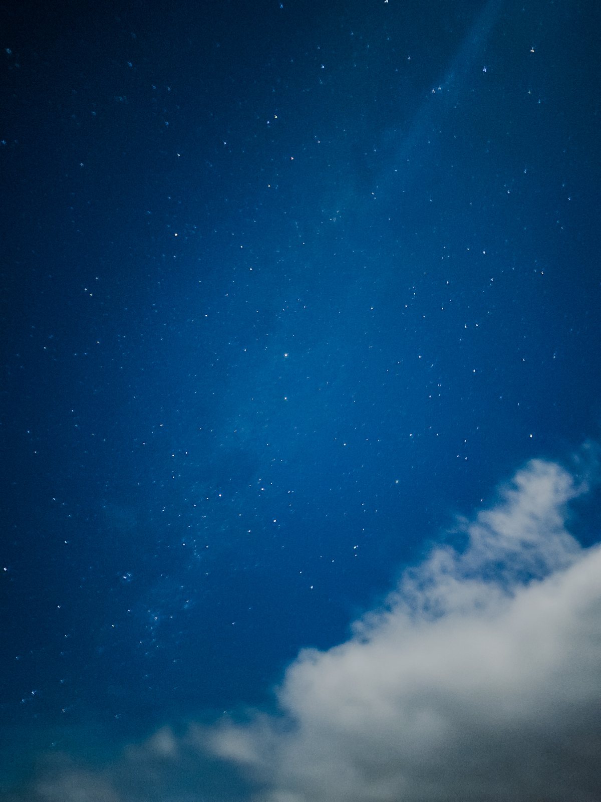 The night sky over Tekapo, inside the Dark Sky Reserve.
In the morning the lake was still. Lake Tekapo, like the other lakes of the basin, is fed by glaciers, and its milky turquoise color comes from rock flour, rock ground to dust by the ice and suspended in the meltwater. On its shore stands the Church of the Good Shepherd, built in 1935 as the first church in the Mackenzie Basin, for the district’s pioneer families. It is said to be one of the most photographed buildings in the country, and I did my part.
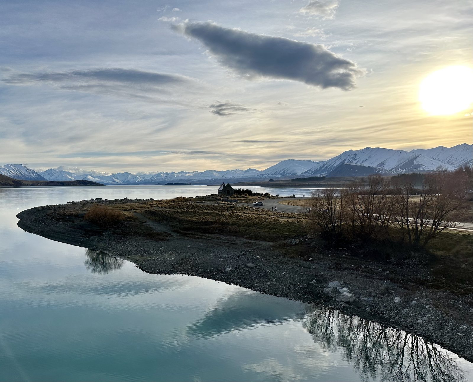 Lake Tekapo at sunrise.
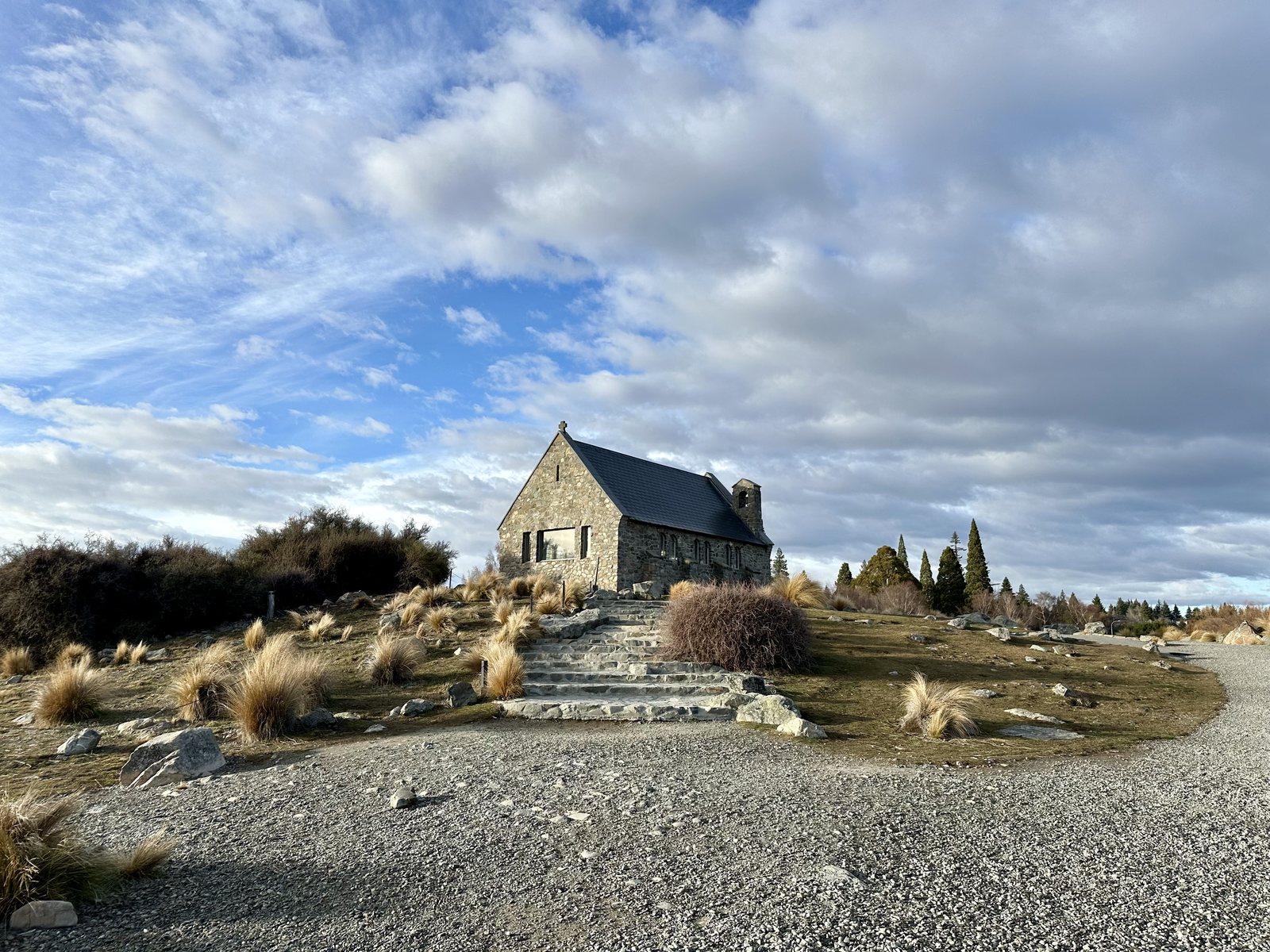 The Church of the Good Shepherd, 1935.
Aoraki and the Tasman Glacier
Aoraki/Mt Cook, at 3,724 meters, is the highest mountain in New Zealand, and the highest point of Zealandia that rises above the sea. In Ngāi Tahu tradition, Aoraki and his brothers were sky children whose canoe ran aground and turned to stone; the canoe is said to have become the South Island, and the brothers the peaks of the Southern Alps.
I saw it the way it is best seen, from a helicopter. Running down the mountain’s eastern side is the Tasman Glacier, at about 23.5 kilometers New Zealand’s longest. From above, it looks less like ice than like a river of gray rubble, because its lower reaches are buried under rock. At its foot is a lake that is only a few decades old. Meltwater ponds began to form on the glacier in the early 1970s, joined into Tasman Lake by 1990, and the lake has grown ever since as the ice retreats.
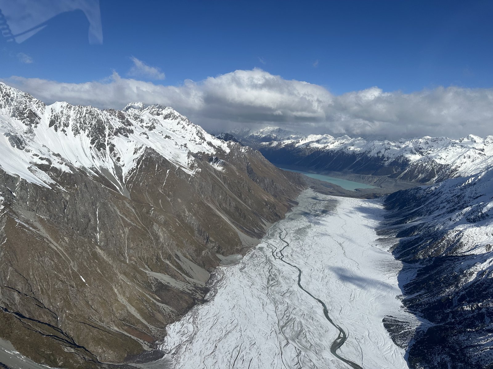 The Tasman Glacier from the helicopter, with Tasman Lake at its foot.
The helicopter landed on the snow high above the valley. The cold was sharp and the silence was complete. Standing there, looking down a glacier toward a lake that is only a few decades old, I felt small in the right way. My own questions did not disappear, but they took their proper size.
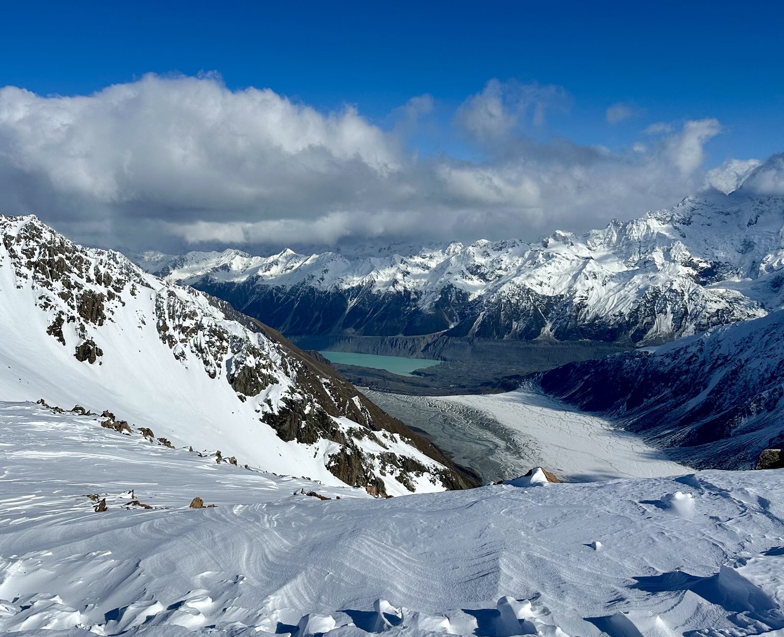 The helicopter’s snow landing, high above the Tasman valley.
Back on the ground, I walked part of the Hooker Valley Track, which follows the Hooker River toward the mountain through tussock and alpine scrub. Cloud sat on the peaks, and the glacial lakes below them were the same impossible turquoise as Tekapo.
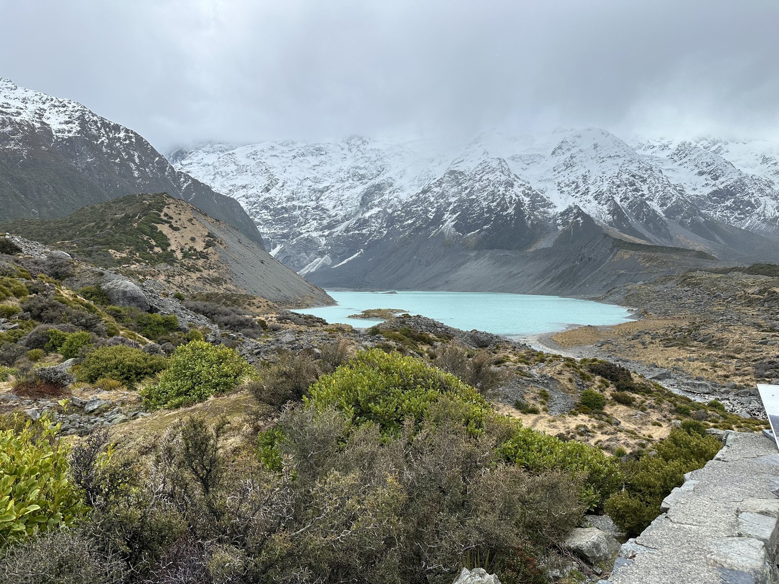 A glacial lake below the Southern Alps, from the Hooker Valley Track.
Lake Pukaki, and the Pelennor Fields
On the way out of the mountains, the road follows Lake Pukaki. On a boulder above the lakeshore stands a bronze Himalayan tahr, a wild mountain goat. In 1904 the Duke of Bedford gave the New Zealand government six tahr from his private herd in England, and they were released near Aoraki for hunting. With no predators, they thrived; today they are prized by hunters and culled by conservationists, and the statue, unveiled in 2014, commemorates both their arrival and the family that sent them.
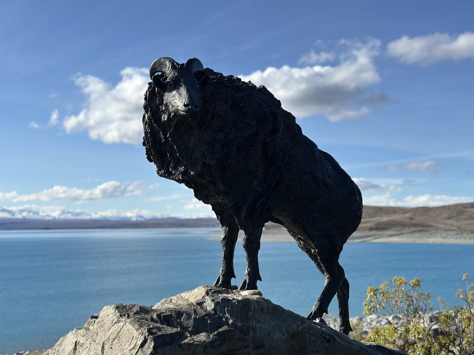
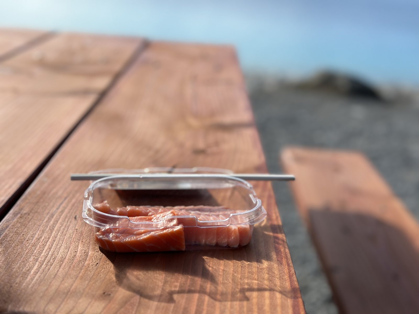
The same water feeds a salmon farm. Mt Cook Alpine Salmon raises freshwater king salmon in the cold, fast meltwater that flows down from the Alps, and its shop on the lakeshore sells sashimi to eat at a picnic table with the mountain in view. At home, I cook it as teriyaki salmon, without the glacier.
A few minutes south, near the town of Twizel, the open farmland under the mountains became the Pelennor Fields, where the last great battle of The Return of the King was filmed. From the road it is only grass, fences, and sheep. That was the first lesson of the search: Middle-earth was filmed in ordinary places, and it takes attention to see the story in them.
What stayed with me from the Mackenzie Country was the scale: a sky with no light in it, a glacier that has lost kilometers within a lifetime, and a mountain that was here long before anyone named it. The Mackenzie Country taught me perspective.
The Otago Coast: Stone and Time
Fri 16–Sat 17 Aug · Oamaru, Moeraki, Dunedin · Days 3 and 4
The road from the mountains runs down the Waitaki valley to the Pacific coast at Oamaru.
Oamaru: The Smallest Penguins
That evening I watched the little blue penguins come home. The kororā is the world’s smallest penguin, about 30 centimeters tall, with slate-blue feathers. It spends the day fishing at sea and comes ashore after dusk, in small groups, to waddle up the rocks to its burrow. The Ōamaru Blue Penguin Colony, set up in 1993 with 30 breeding pairs, protects a colony on the edge of the town, and visitors watch the return from a grandstand in the dark. Photography is not allowed during the evening viewing, since light disturbs the birds, so I have no picture of them. I did not mind. For once there was nothing to do but watch.
The Moeraki Boulders
On Koekohe Beach near Moeraki, dozens of near-perfect stone spheres lie in the surf, some up to about two meters across and weighing several tonnes. They look carved, and they are not. They are concretions: minerals that slowly cemented around a center in the mud of the seafloor about 60 million years ago, growing like pearls over millions of years. The soft mudstone around them has since been lifted and is now eroding from the cliffs behind the beach, releasing the boulders one by one. In Māori tradition they are something else: the eel baskets, gourds, and kūmara washed ashore from the wreck of the voyaging canoe Ārai-te-uru, whose hull is said to lie as a reef at Shag Point to the south.
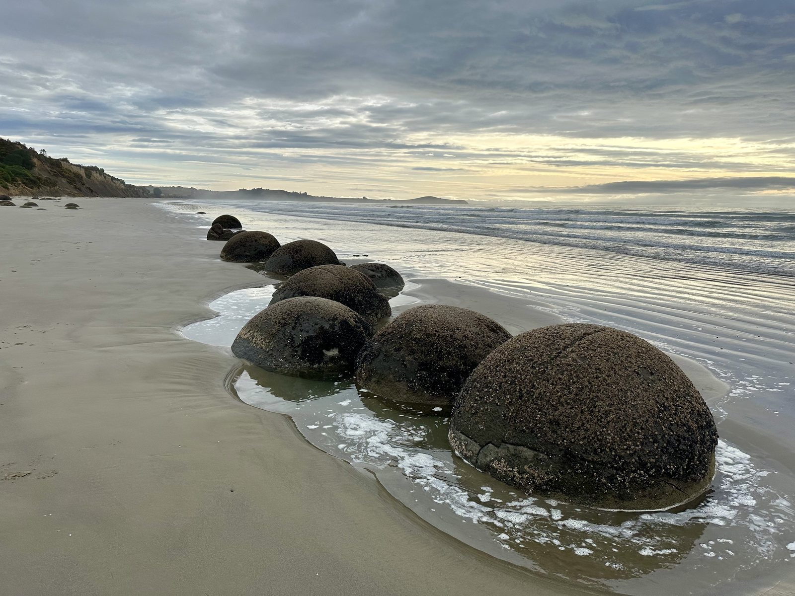 The Moeraki Boulders, about 60 million years in the making.
I arrived early, with the tide around the boulders and the sky just lightening. Sixty million years is long enough for a stone to form, be buried, and be returned to the light. It made my own timelines feel more forgiving.
Dunedin: Edinburgh of the South
Dunedin was founded in 1848 by settlers from the Free Church of Scotland, and its name comes from Dùn Èideann, the Gaelic name for Edinburgh. The city’s grandest building is its railway station, opened in 1906 and designed by George Troup in the Flemish Renaissance style, in dark basalt trimmed with white Oamaru limestone. The decoration earned Troup the nickname “Gingerbread George.”
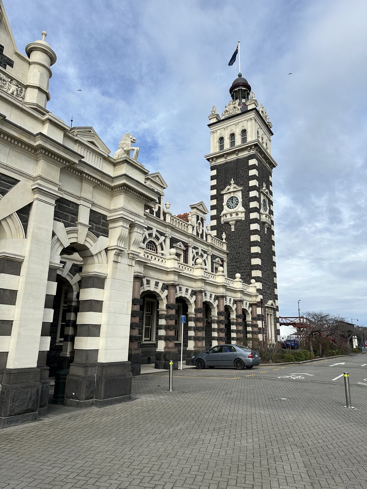 Dunedin Railway Station, 1906, by “Gingerbread George” Troup.
Dunedin also holds a less dignified record. Baldwin Street is recognized by Guinness World Records as the steepest street in the world, with a gradient of 34.8 percent at its steepest. It lost the title in 2019 to a street in Harlech, Wales, and won it back in 2020 after a Dunedin surveyor showed that the street should be measured along its center line, which Guinness accepted.
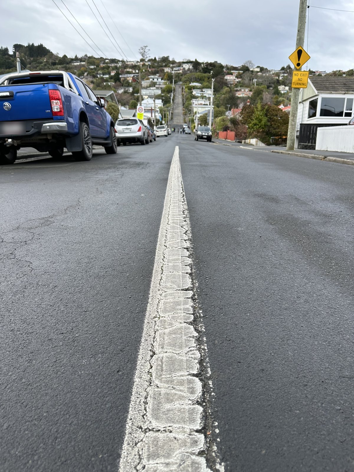 Baldwin Street, Dunedin: 34.8 percent at its steepest.
The Otago coast taught me patience. The boulders took millions of years, the station took three to build, and the street took a year of arguing to get its title back.
The Southern Lakes: Into Middle-earth
Sat 17–Sun 18 Aug · Arrowtown, Queenstown, Glenorchy · Days 4 and 5
Arrowtown and the Ford of Bruinen
In 1862 gold was found in the Arrow River, and within months more than a thousand miners were camped along its banks. The settlement was first called Fox’s, after William Fox, one of the prospectors who claimed the strike, before it became Arrowtown. Chinese miners came later in the 1860s, invited by the provincial government after many of the first miners left for new goldfields on the West Coast; their restored huts still stand at the edge of town. The main street keeps its old wooden buildings and picket fences, and in late afternoon light it looked like a set, though it is entirely real.
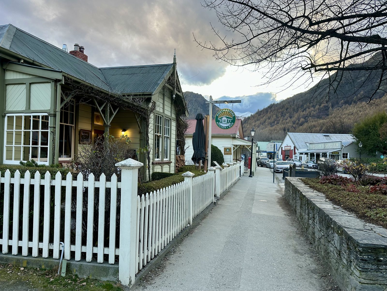 Arrowtown, a gold-rush town of 1862.
The Arrow River just outside town is where the Ford of Bruinen was filmed, the scene in The Fellowship of the Ring where Arwen outruns the Black Riders across the water with Frodo. Arrowtown was the first place on the trip where a scene I knew well was only a short walk away.
Queenstown and the Sleeping Giant
Queenstown sits on Lake Wakatipu, the longest lake in New Zealand at about 80 kilometers, and one of the deepest: its floor, at up to 380 meters down, lies below sea level. The lake is shaped like a lightning bolt, or, in the Ngāi Tahu story, like a giant lying on his side. The giant Matau stole a chief’s daughter, Manata; the young man Matakauri freed her, then returned while the giant slept and set him on fire. The burning body melted a deep hollow that filled with water, with Glenorchy at the giant’s head, Kingston at his feet, and Queenstown on his knee. Only his heart survived, and it is said to still beat beneath the water. The lake does rise and fall, by several centimeters, in a regular rhythm. Scientists call it a seiche, a standing wave set off by wind and changes in air pressure. I prefer the heartbeat.
Dinner that night was at Fergburger, which nearly every guide to Queenstown sends you to. The wrapper said “Nice to meet you,” and it was.
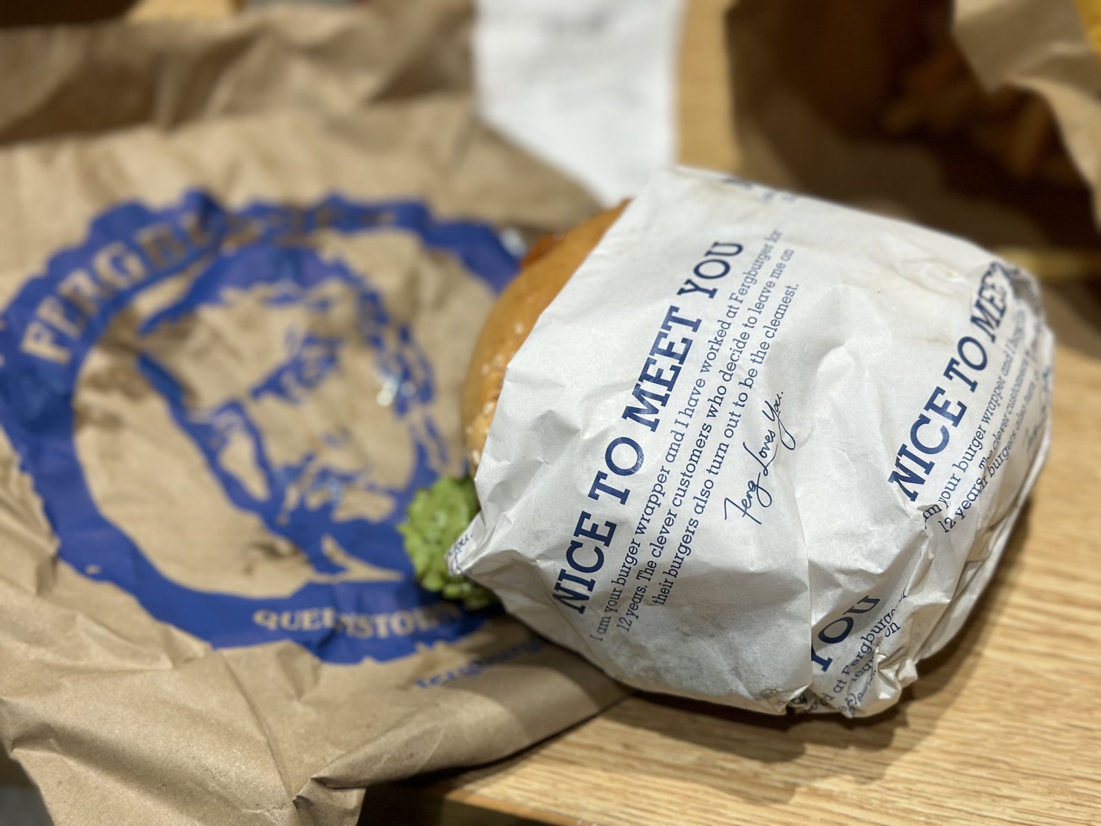 Fergburger, Queenstown.
Glenorchy: The Edge of the Map
The next day was the one I had come for. Glenorchy is a small town at the head of Lake Wakatipu, about 45 minutes from Queenstown along a road that follows the shore. The road itself is part of the story. It passes Twelve Mile Delta, where the scenes in Ithilien were filmed, and climbs to Bennetts Bluff, a lookout over the lake toward the mountains at its head.
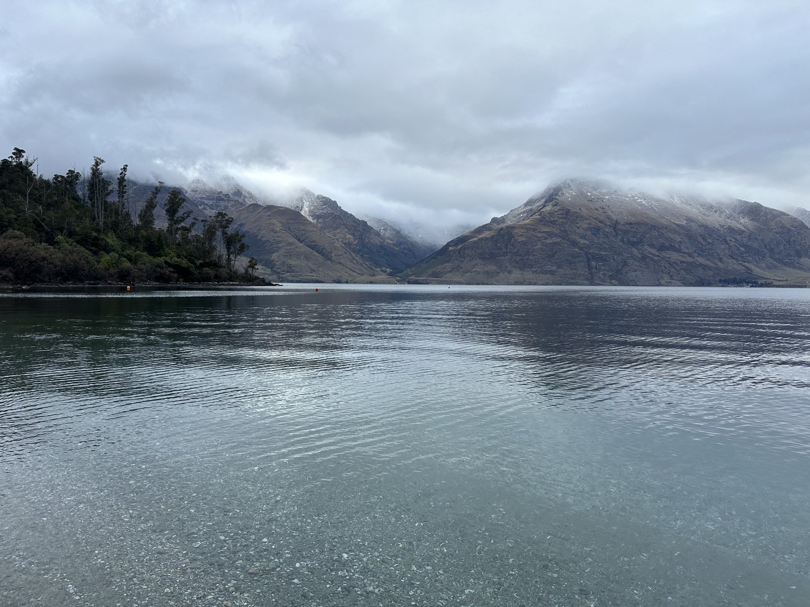 Lake Wakatipu on the road to Glenorchy.
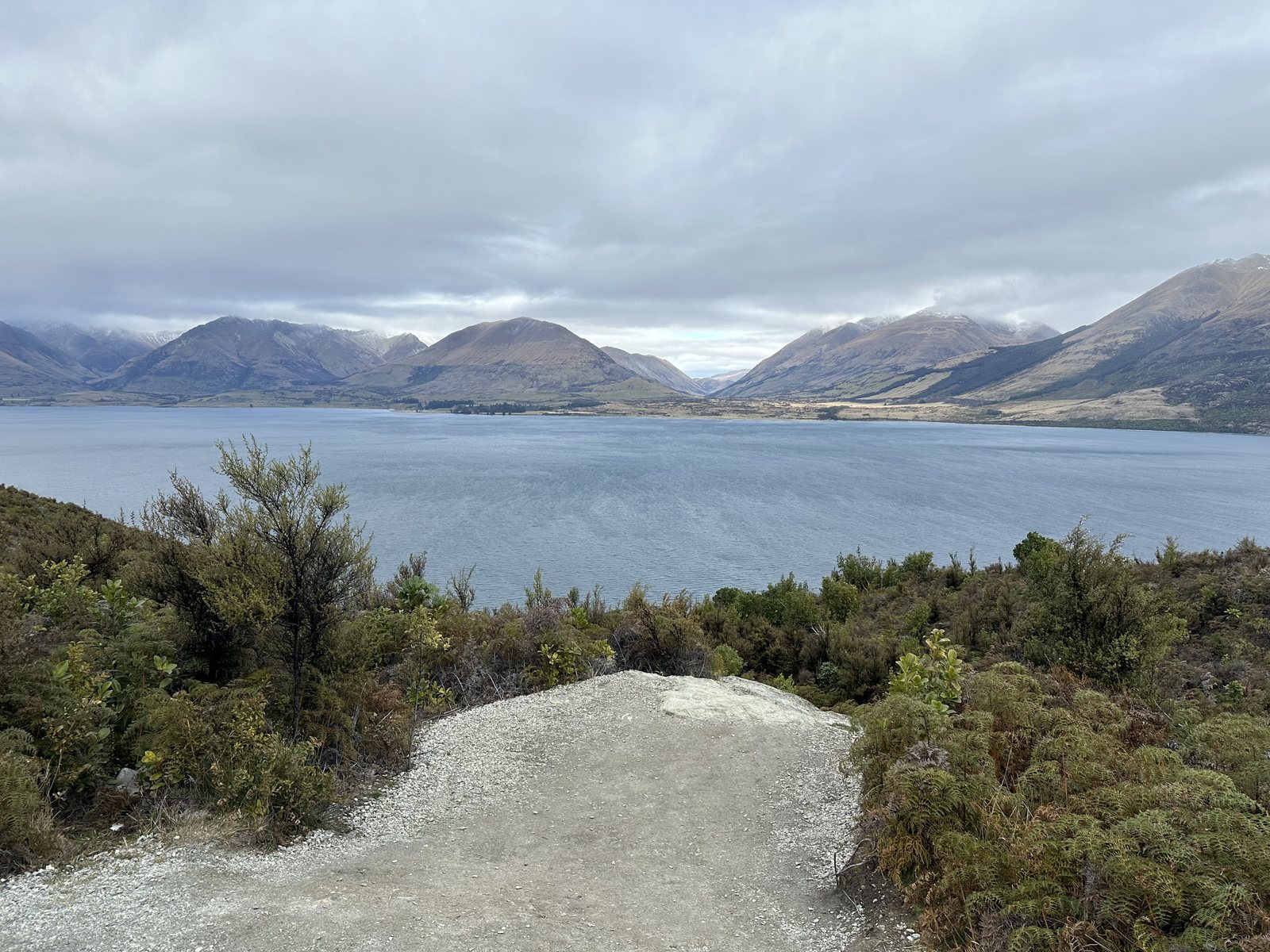 Bennetts Bluff, looking up the lake toward Glenorchy.
The mountain at the head of the lake is Mt Earnslaw, Pikirakatahi to Ngāi Tahu, 2,819 meters high. Its slopes appear in the opening sequence of The Two Towers, as the camera sweeps over the peaks. Beyond Glenorchy, the Dart River valley stood in for Isengard, and the beech forest on the road to a place actually named Paradise became Lothlórien, the forest of the Elves. On a gray winter morning, with cloud lying across the peaks, it was easy to see why a filmmaker would choose it. It looked like the edge of the map.
In Glenorchy itself I walked the lagoon boardwalk, which crosses wetland and golden tussock below the mountains. In winter it was almost empty. Willows stood bare along a stream, and the grass moved in the wind.
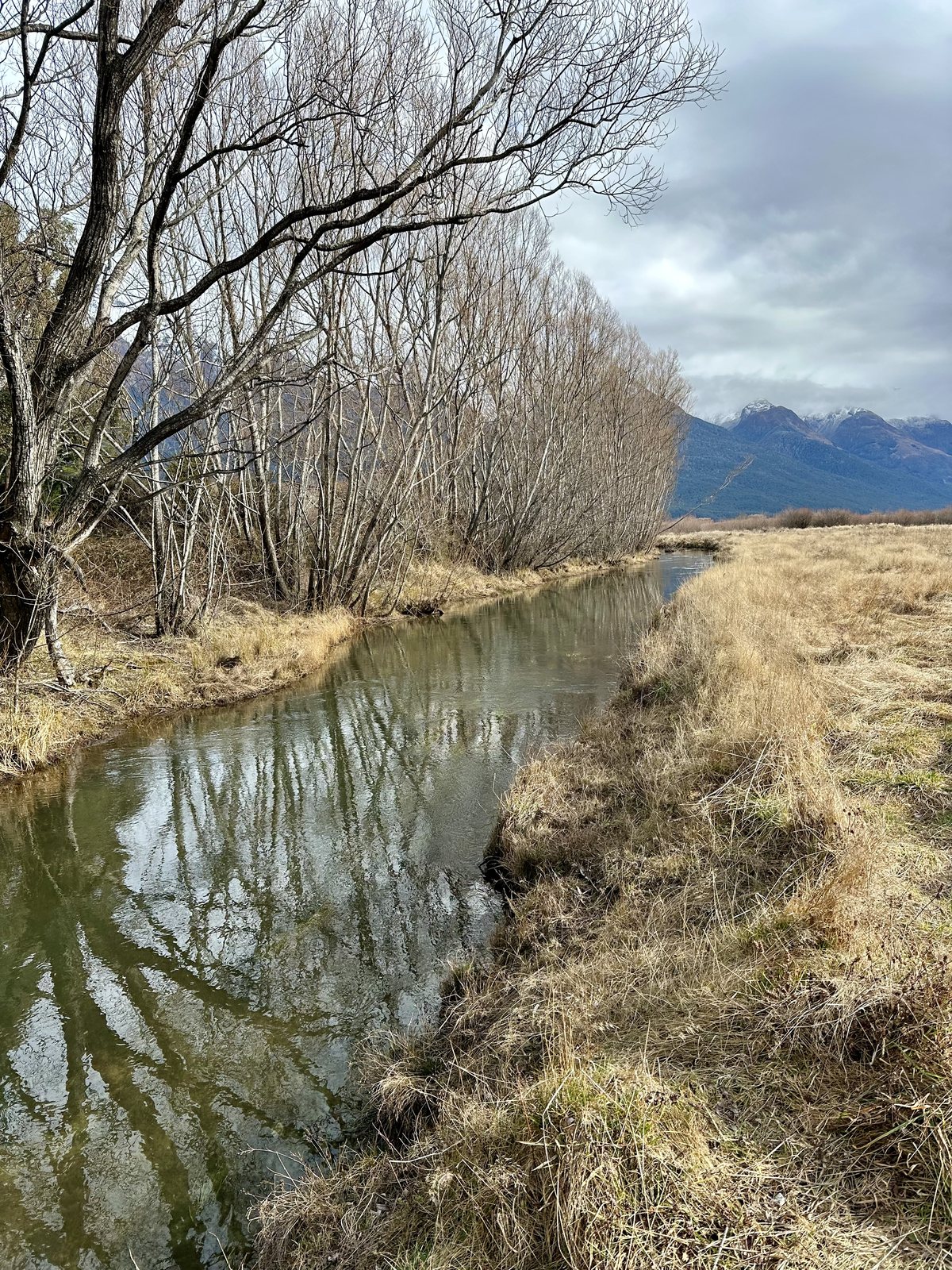
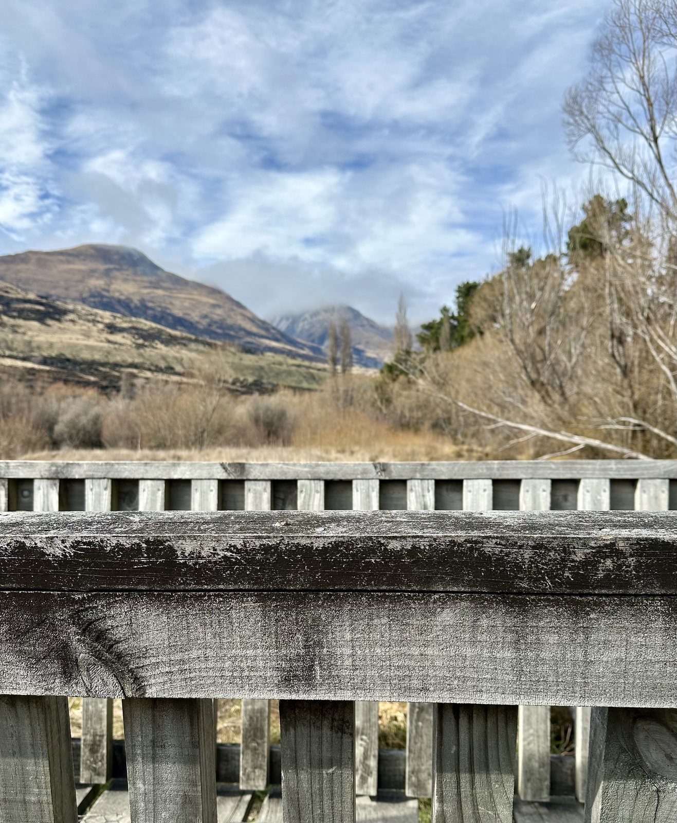
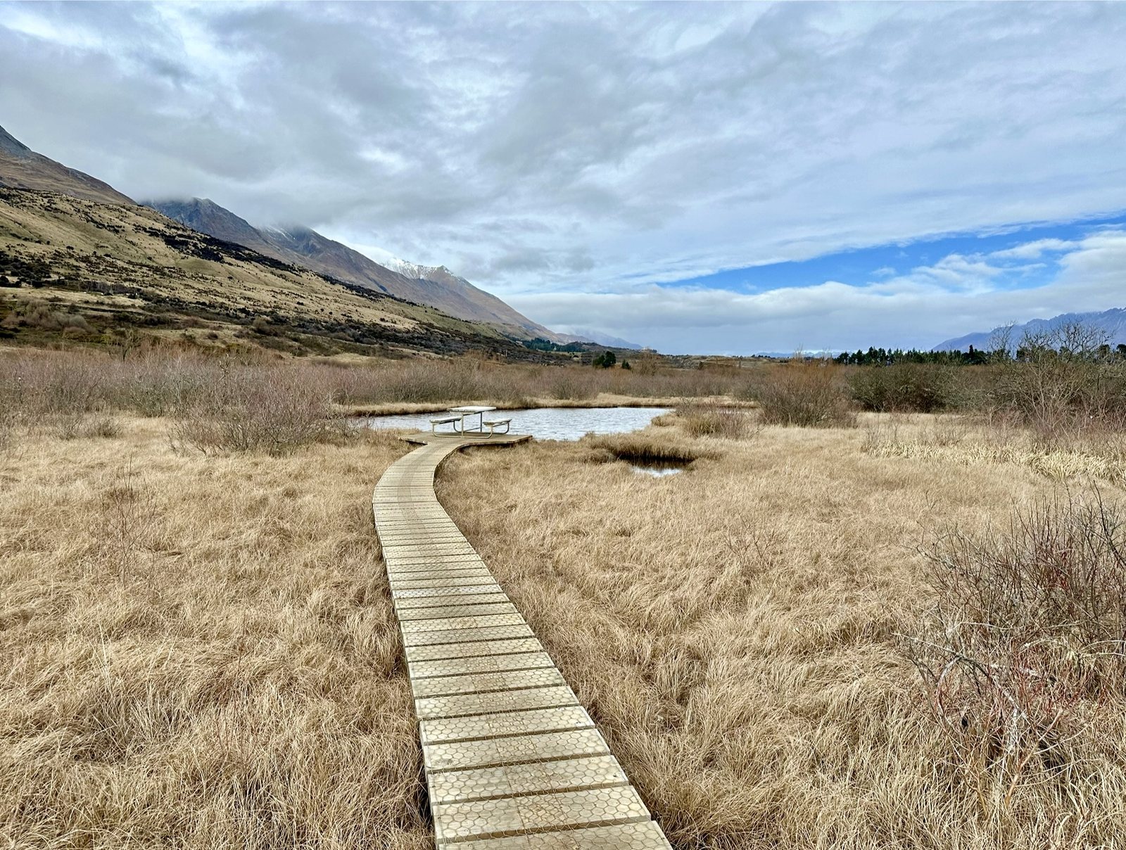 The Glenorchy lagoon boardwalk.
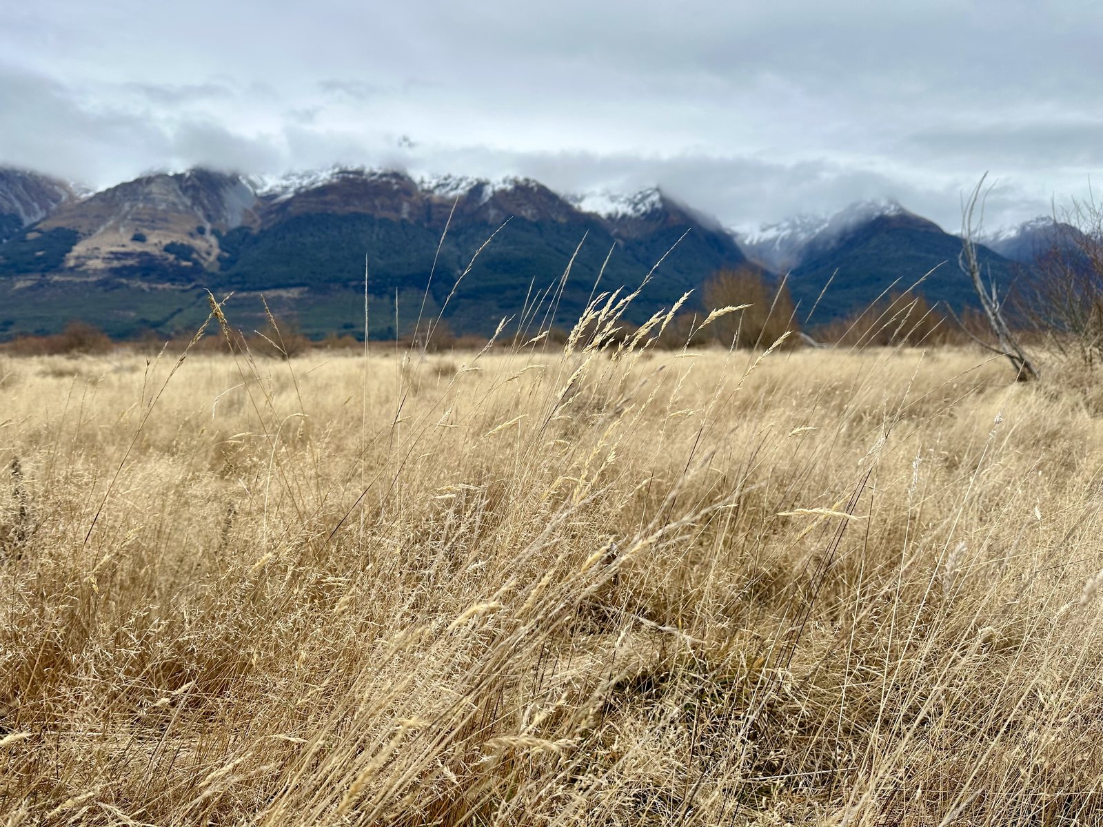 Tussock below the mountains at Glenorchy.
This was the moment the trip had been building toward, and it was quieter than I expected. There was no music and no Fellowship on the ridge, only grass, water, and mountains, and the story was in them because I had brought it with me. I think that is what I had come all this way to learn. The places in the films are real, but the journey is the part you supply yourself. Middle-earth was not something I found at Glenorchy; it was a way of looking that I had carried there.
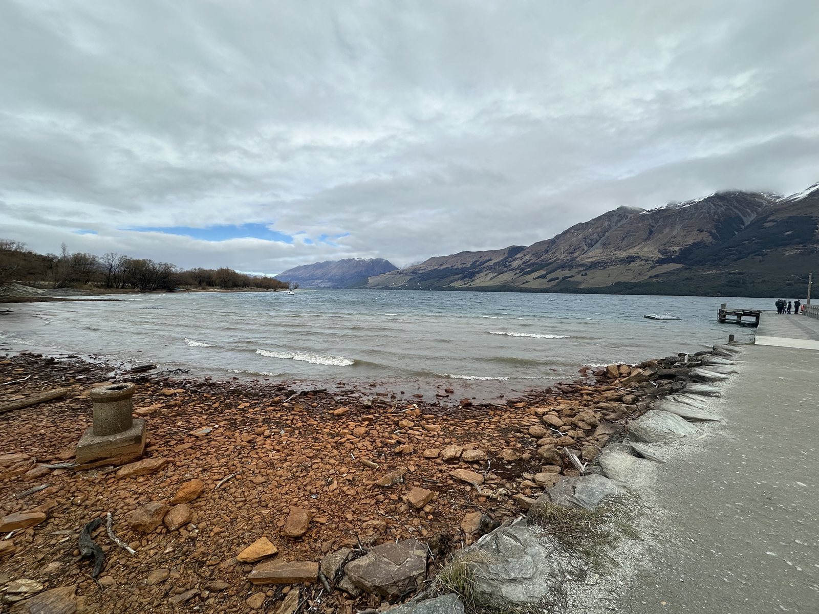 The lakeshore at Glenorchy, at the head of Lake Wakatipu.
Queenstown from Above
Back in Queenstown, the Skyline gondola, open since 1967 and often described as the steepest cable-car lift in the Southern Hemisphere, climbs about 450 meters to Bob’s Peak. From the top the whole shape of the lake opens out, with the town on its bay, the peninsula reaching into the water, and the jagged line of the Remarkables across it.
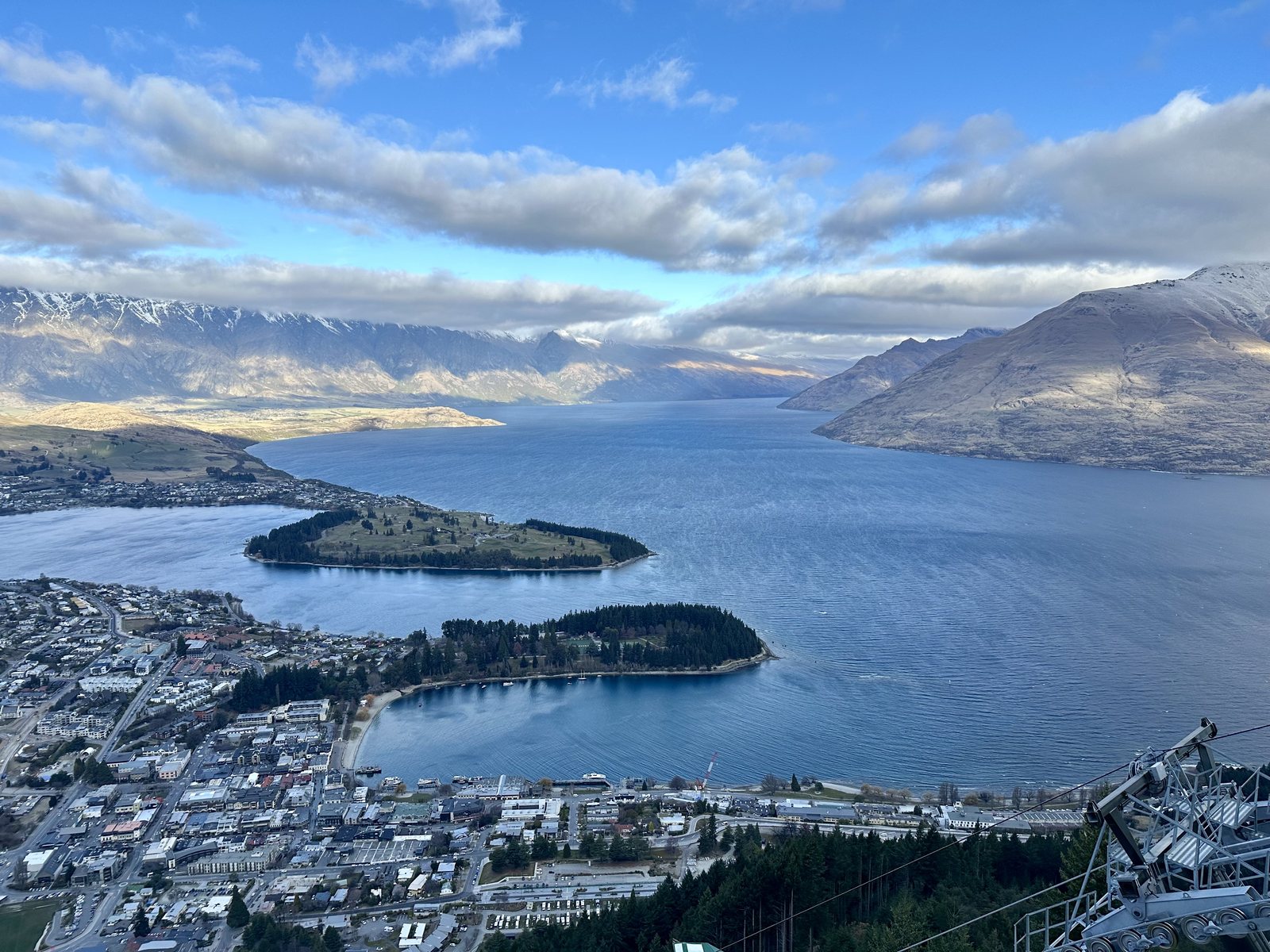 Queenstown and Lake Wakatipu from Bob’s Peak.
Down in town, St Peter’s Anglican Church stands in stone among bare winter trees, a reminder of how much of this region was built by settlers who came for gold and stayed for the land.
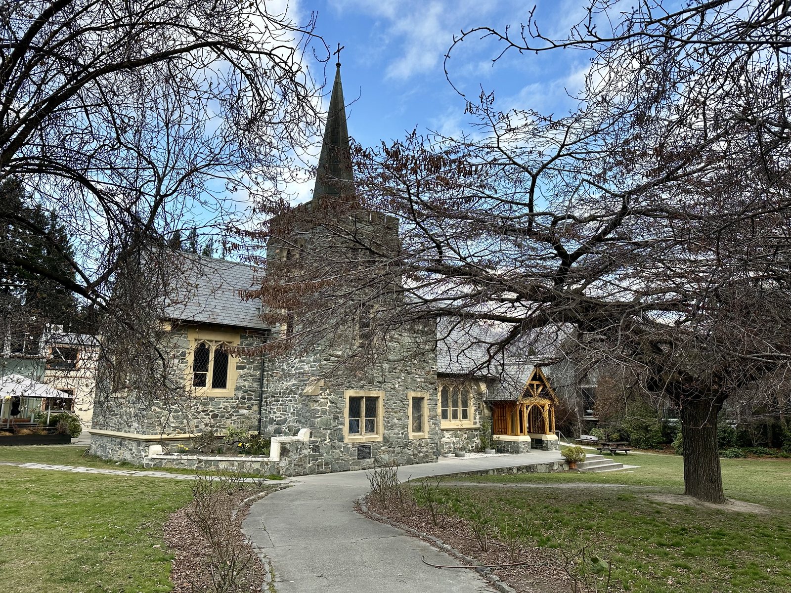 St Peter’s Anglican Church, Queenstown.
Dinner was crayfish, the New Zealand spiny rock lobster that Māori call kōura, served as sashimi with its shell. I ate it in Queenstown, but it came from Milford Sound in Fiordland, whose waters are the most productive part of Southland’s rock lobster fishery, the largest in the country. The fiords I did not have time to see were only a few hours away. At home, my nearest equivalent is ginger scallion lobster, cooked the Cantonese way.
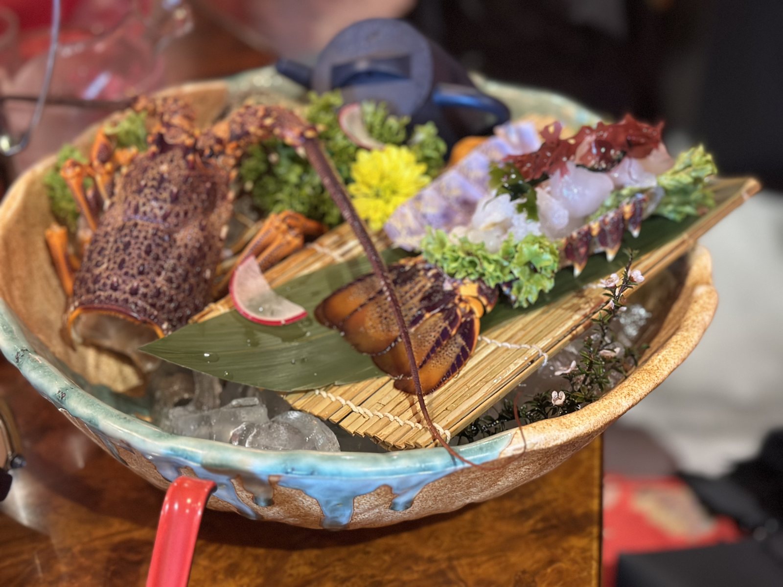 Crayfish from Milford Sound, served in Queenstown.
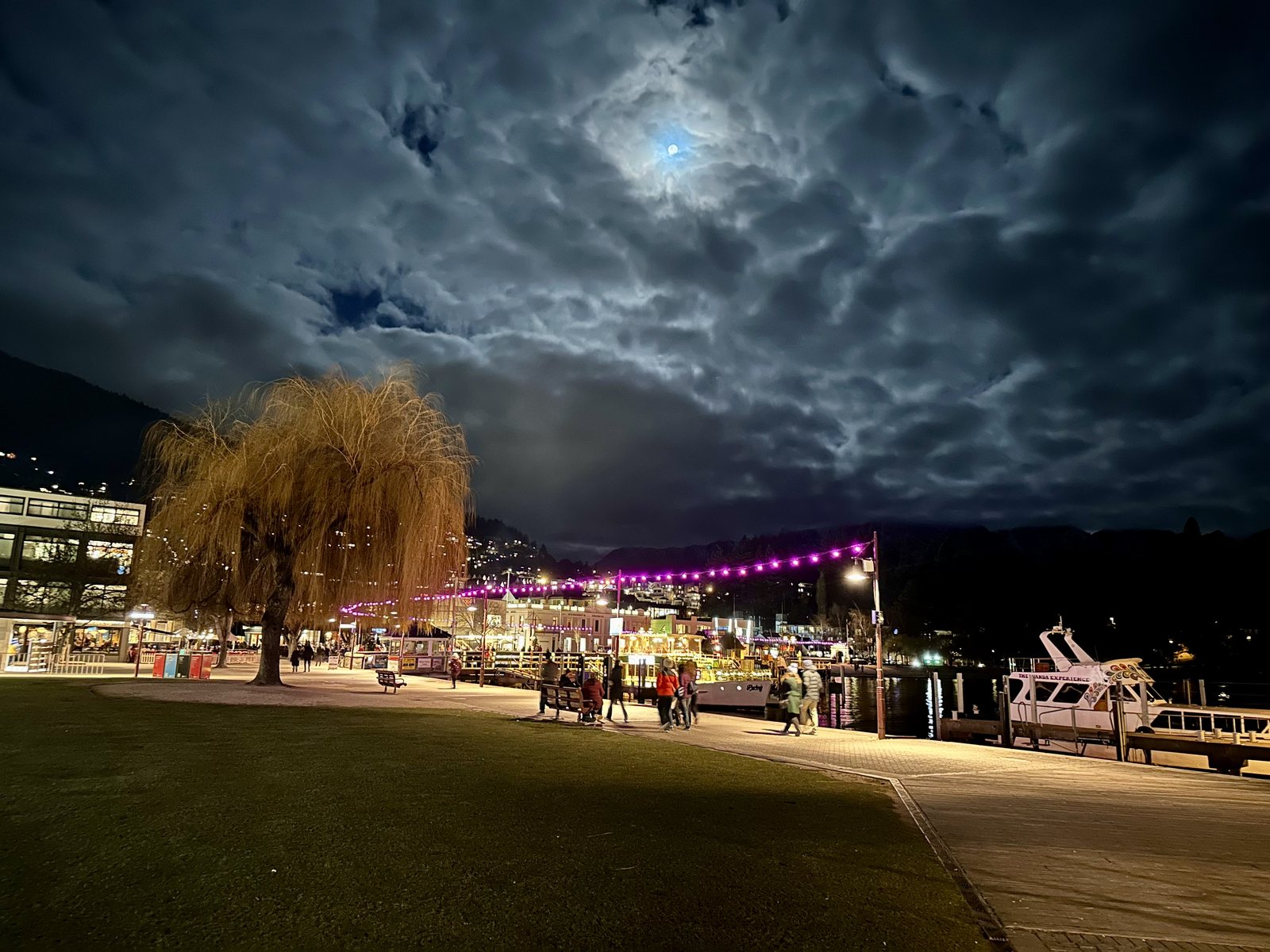 The Queenstown lakefront at night.
The Southern Lakes taught me that the story was real, but quieter than the films, and that the quiet was the point.
Auckland: Behind the Curtain
Mon 19 Aug · Auckland · Day 6
I left Queenstown on a clear morning, with fresh snow on the Remarkables above the airport.
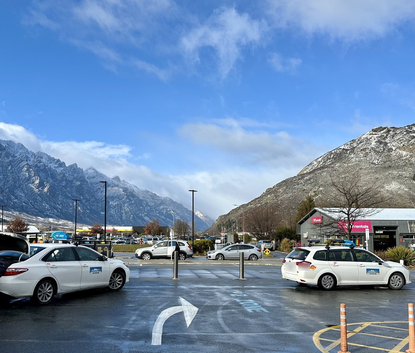 The Remarkables from Queenstown Airport.
If the South Island showed me where Middle-earth was filmed, Auckland showed me how it was made. Weta Workshop, the Wellington company that designed and built the armor, weapons, creatures, and miniatures for the films, opened Weta Workshop Unleashed at Auckland’s SkyCity in December 2020, its first venture of its own outside Wellington. It is a guided walk through make-believe film sets of horror, science fiction, and fantasy, built around Weta’s own imagined worlds rather than any one film. Visitors are met by Jeff, the company’s head of health and safety, an animatronic creature with a coffee mug and a sling. The miniatures, with their tiny trees and painted castles, show how much of a fantasy world is built by hand at tabletop scale.
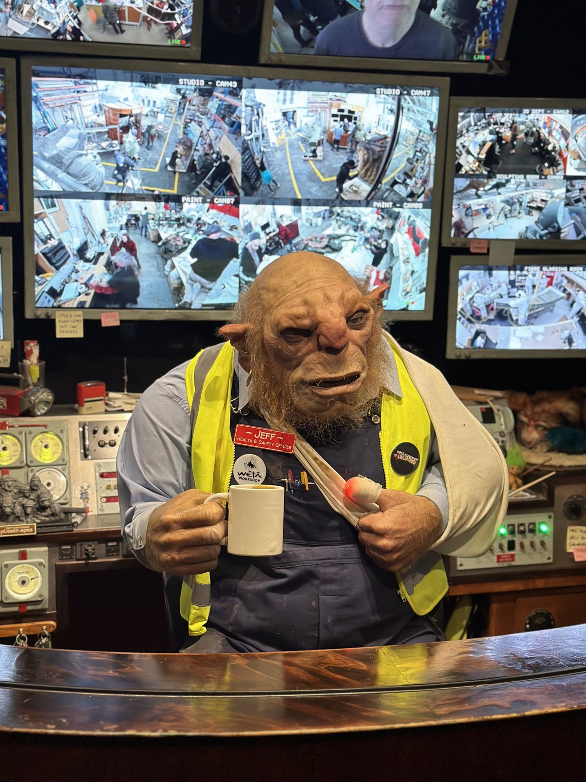
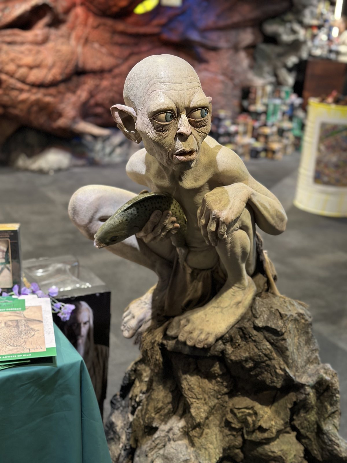
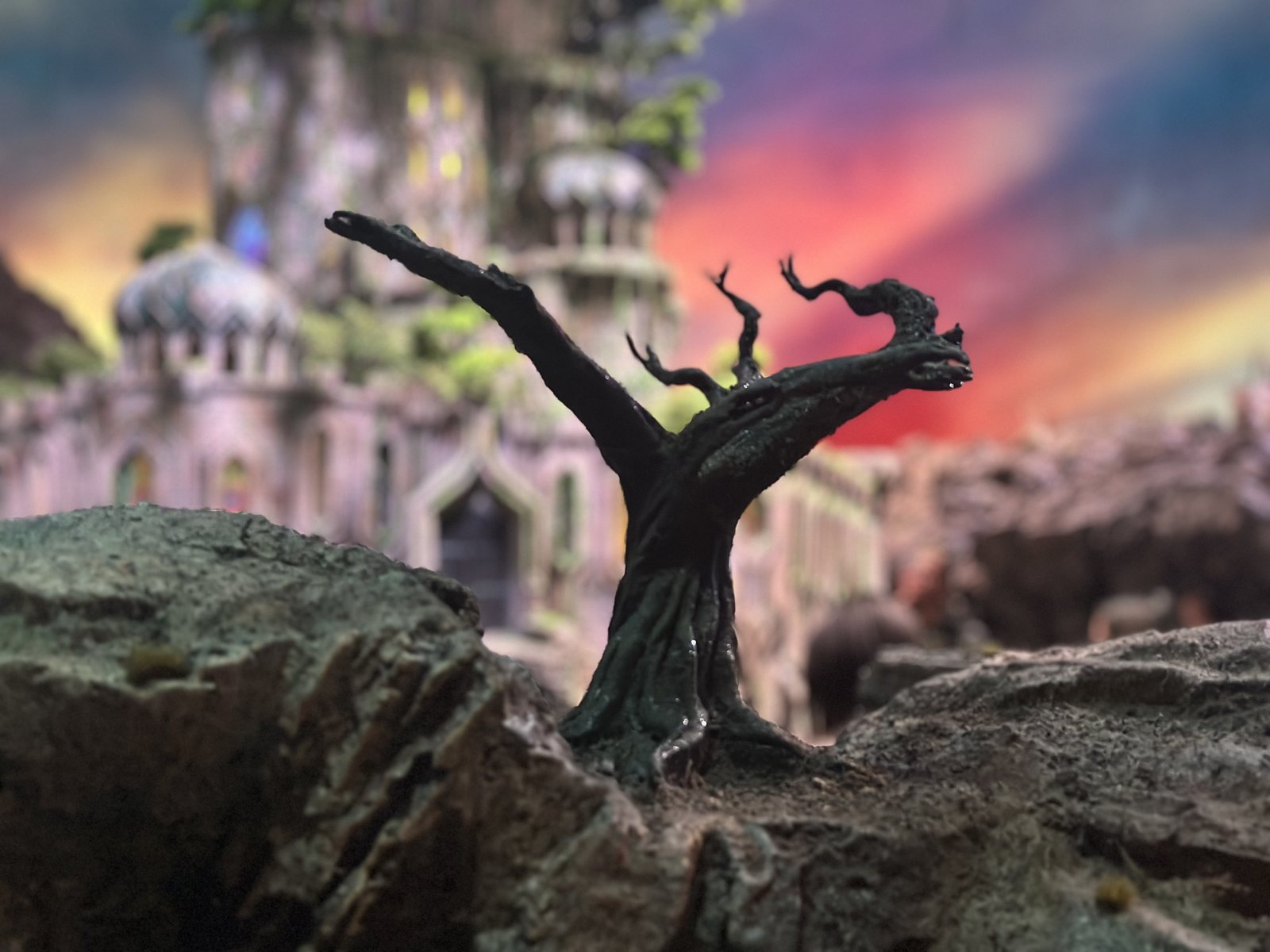 A miniature at Weta Workshop Unleashed.
Seeing behind the curtain did not spoil anything. It completed the picture. Middle-earth on screen was the landscape I had walked through the day before, plus thousands of hours of craft.
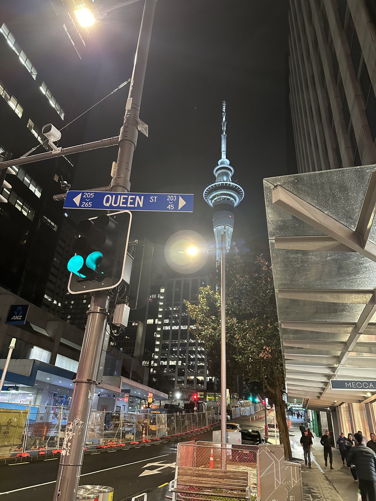
That evening I went up the Sky Tower, which opened in 1997 and at 328 meters is the tallest structure in New Zealand. It looks out over the Waitematā Harbour, the city’s towers, and the islands of the Hauraki Gulf. Afterward I walked down to the waterfront, where the Ferry Building, completed in 1912 in Edwardian Baroque, glowed after the rain, and back up Queen Street with the tower lit above it.
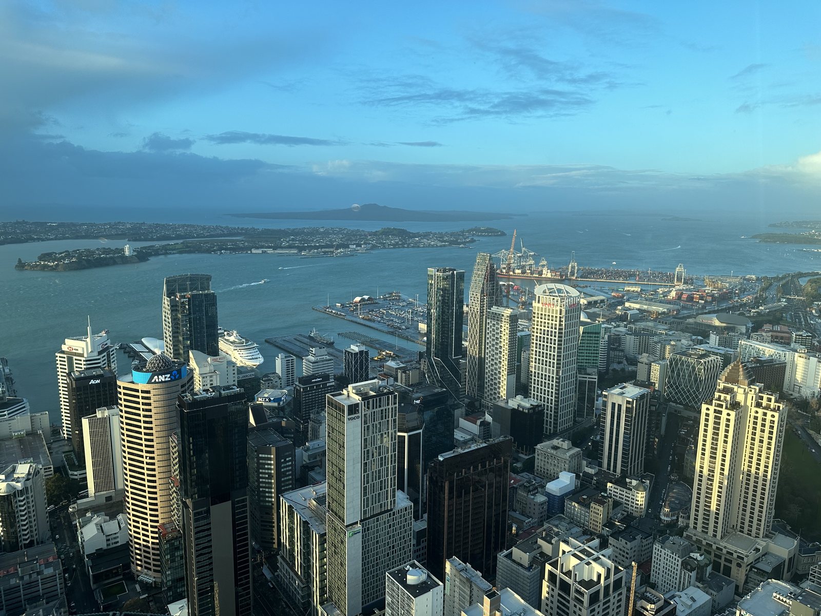 Auckland and the Waitematā Harbour from the Sky Tower.
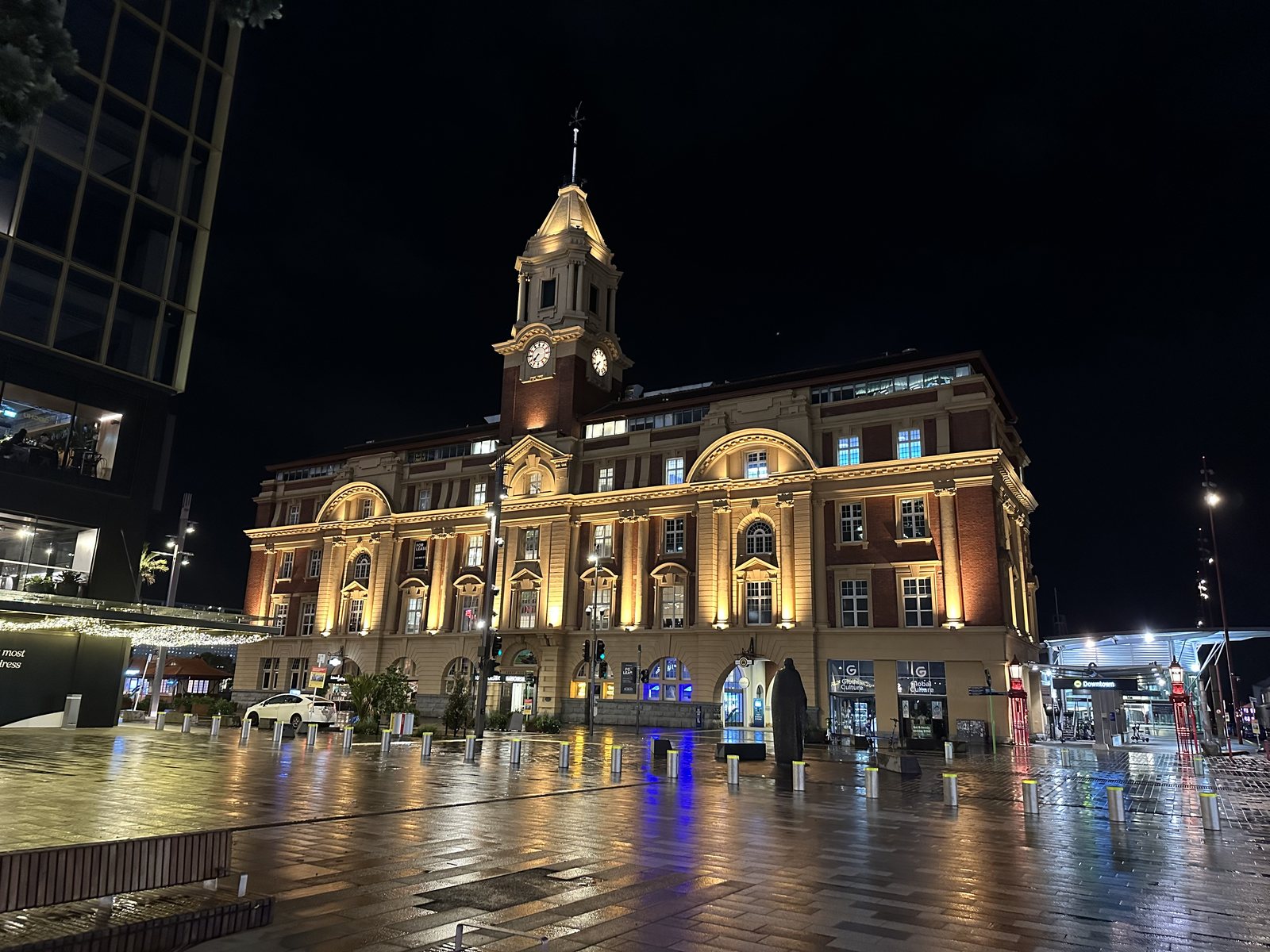
Rotorua: Where the Ground Breathes
Tue 20–Wed 21 Aug · Waitomo, Rotorua, Wai-O-Tapu · Days 7 and 8
The road south from Auckland crosses green dairy country toward Rotorua, on the volcanic plateau of the North Island. On the way I stopped at Waitomo.
Waitomo: Stars Underground
Below the farmland around Waitomo, underground streams have carved caves through the limestone, and their ceilings are lit by glowworms. The name is misleading: the glowworm, Arachnocampa luminosa, is the larva of a small fungus gnat found only in New Zealand. Each one hangs sticky threads of silk from the rock and glows to lure insects into them. Local Māori knew the caves long before Chief Tane Tinorau and the English surveyor Fred Mace explored this one in December 1887, floating in on a raft of flax stems by candlelight. Tane Tinorau and his wife, Huti, were leading visitors through it by 1889, and in 1989 the land and the cave were returned to their descendants.
The tour ends with a boat ride, in silence and in the dark, through the Glowworm Grotto. Cameras are not allowed, so again I have no photo. Five days after the stars over Tekapo, I found a second night sky, this one underground and alive.
Farm Country
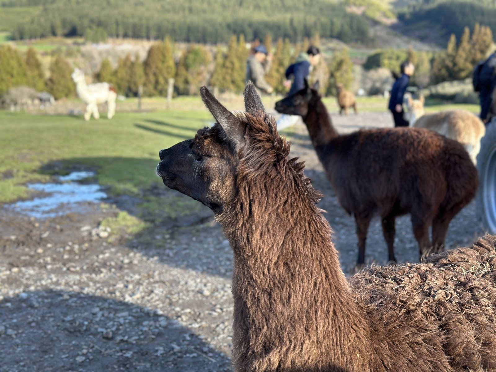
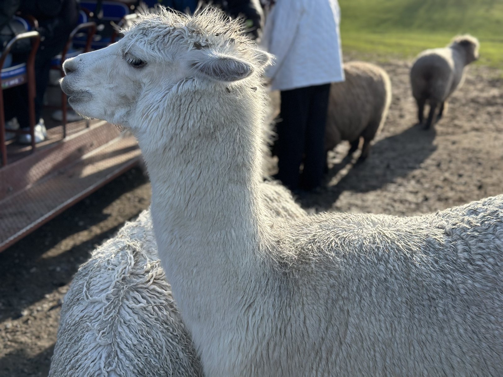
New Zealand’s farms are part of its landscape and its economy, and the Agrodome, a working farm outside Rotorua founded in 1971, explains them with a show. Nineteen breeds of sheep walk onstage one at a time and take their places on a tiered stand, each labeled with its name, before a shearing demonstration and a turn from the sheepdogs. The farm tour afterward included alpacas.
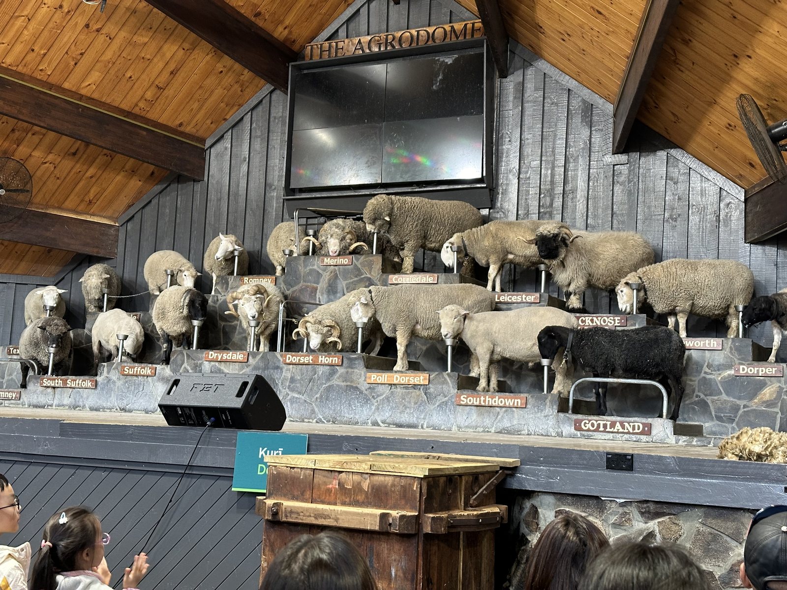 The sheep show at the Agrodome: one ram of each breed.
A Town on Hot Ground
Rotorua smells of sulfur, and steam rises from drains, parks, and gardens. In the afternoon I walked by the lake and into the Government Gardens, where a pool steamed in the low winter sun as if someone had left a kettle on.
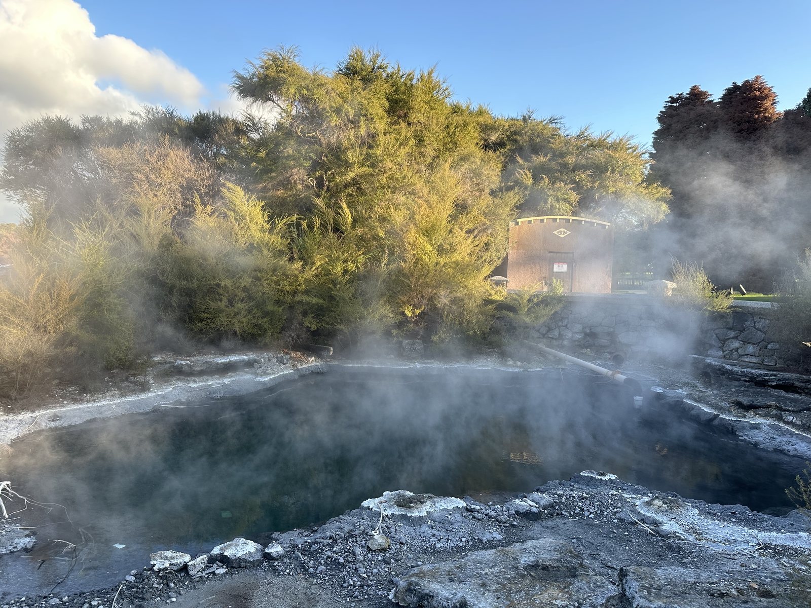 A geothermal pool by the Government Gardens, Rotorua.
On the edge of town is the Redwoods, a grove of California coast redwoods planted in 1901 as a forestry experiment, mostly by prison labor. In New Zealand’s soil and rain they have grown faster than in California, and the tallest now pass 70 meters. In late light the grove felt like a cathedral that someone planted a century ago without knowing what it would become.
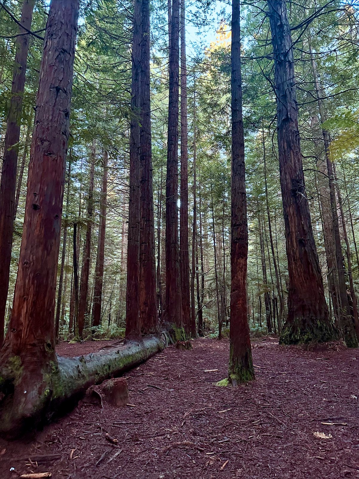 The Redwoods, Rotorua, planted in 1901.
Wai-O-Tapu: The Fire at the End
The next morning I went to Wai-O-Tapu, “sacred waters,” a geothermal area south of Rotorua in the Taupō Volcanic Zone. Its centerpiece is the Champagne Pool, a hot spring formed about 900 years ago when a hydrothermal eruption blew out a crater about 65 meters across and 62 meters deep. Its surface sits at around 74°C and fizzes with carbon dioxide, which gave it its name. The bright orange rim is colored by minerals, including orpiment, an arsenic sulfide. On a cold morning the steam rolled off it so thickly that the far side disappeared.
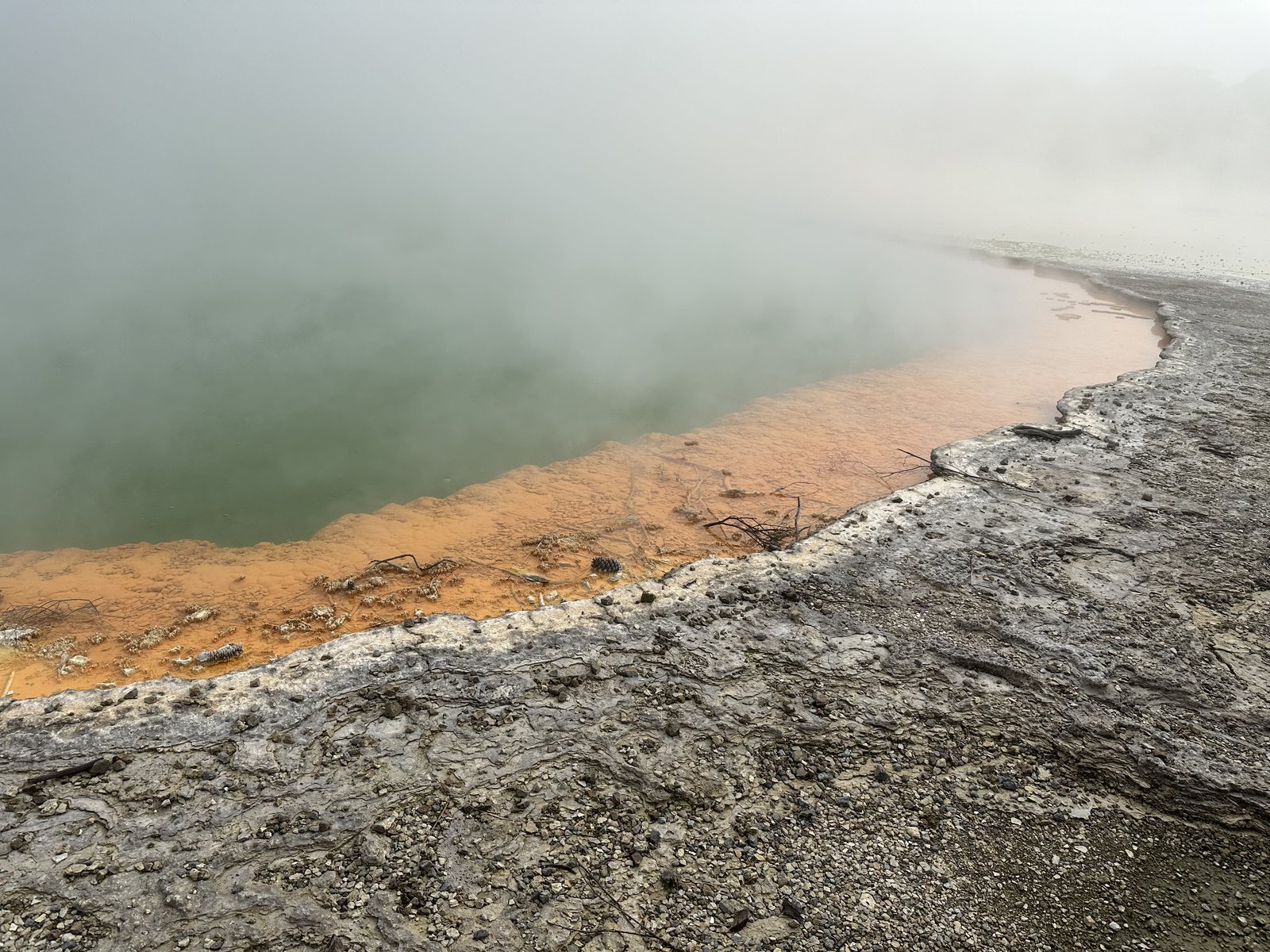 The Champagne Pool, Wai-O-Tapu, formed about 900 years ago.
Near the end of the path is the Devil’s Bath, a crater filled with water of an unreal, fluorescent yellow-green, colored by sulfur. It looks like something that belongs in Mordor.
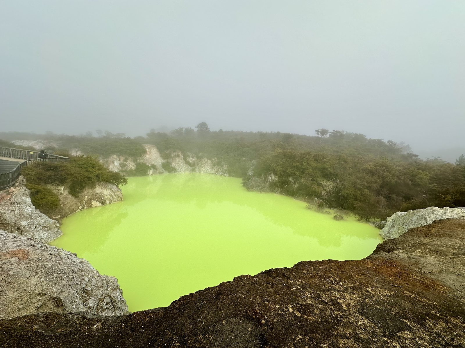 The Devil’s Bath, Wai-O-Tapu.
The books end with fire: the long journey finishes at the volcano where the Ring was made. Mine ended there too, in a gentler way. Standing over the Champagne Pool, I understood that the land I had crossed all week, the mountains, the lakes, the boulders, was not finished. The ground here is still moving, still hot, still being made. I found that hopeful.
Auckland: Standing in a Crater
Wed 21 Aug · Auckland · Day 8
On the last afternoon, back in Auckland, I climbed Maungawhau/Mount Eden. At 196 meters it is the highest natural point on the Auckland isthmus, and it is one of about 53 volcanoes in the Auckland volcanic field, on which most of the city is built. The volcano last erupted about 28,000 years ago and left a bowl-shaped crater 50 meters deep. The crater is tapu, sacred, known as Te Ipu Kai a Mataaho, the food bowl of Mataaho, the god of things hidden in the ground, and visitors are asked not to enter it. I stood on the rim with my shadow stretched across the grass.
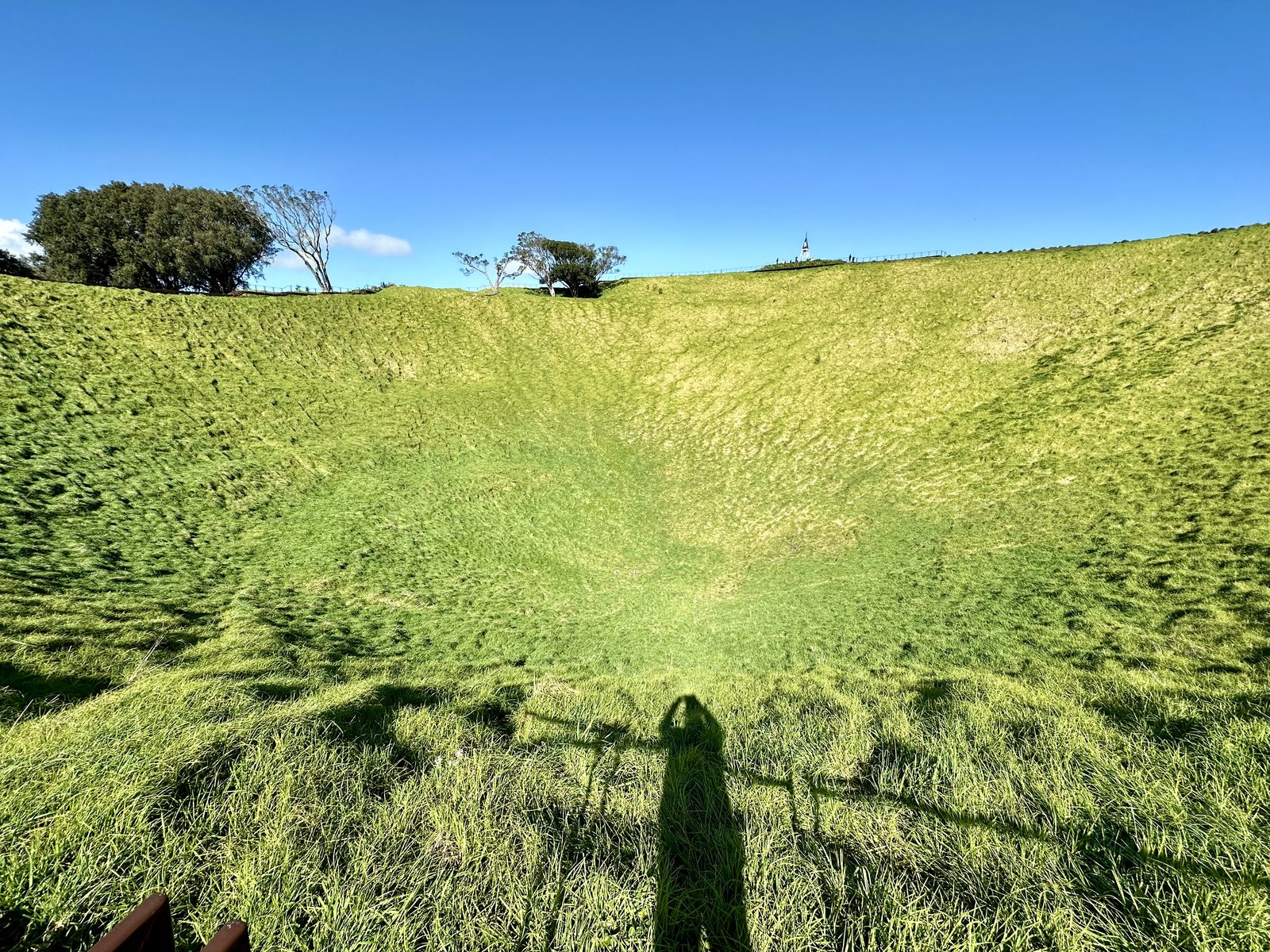 The crater of Maungawhau/Mount Eden, with my shadow on the rim.
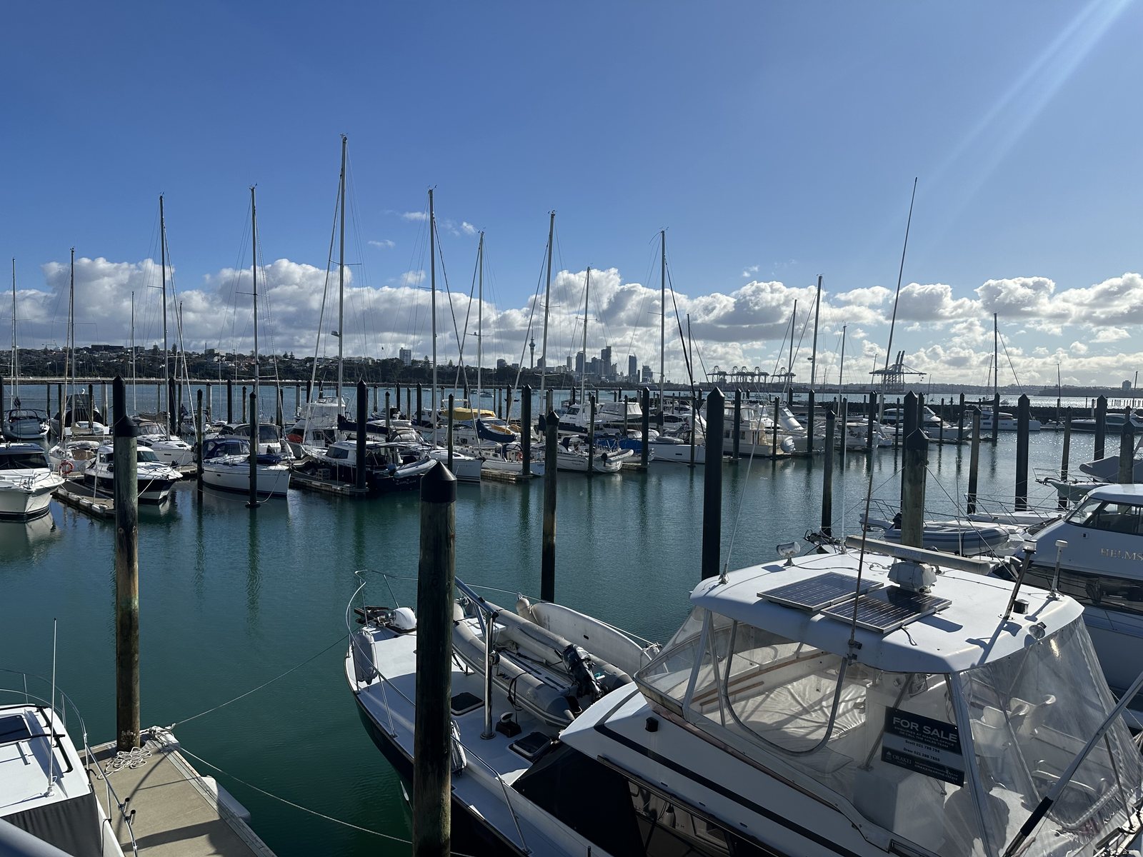
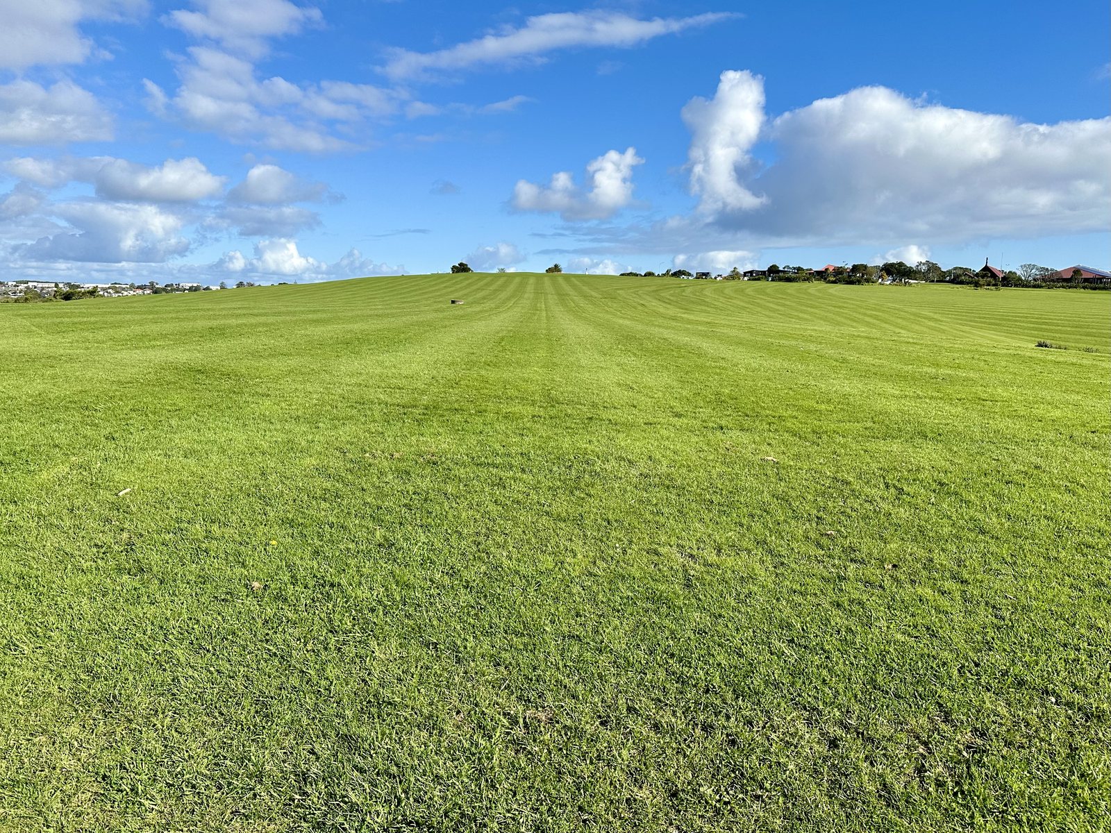
From there I went east along the waterfront, past the marina at Ōrākei, and up to the Michael Joseph Savage Memorial on Takaparawhau/Bastion Point. Savage, New Zealand’s first Labour prime minister, died in office in 1940, and the memorial over his grave was dedicated in 1943. Its wide lawn looks out over the harbor, and it was a calm last view.
New Zealand Today
The country I visited was at a turning point that I follow for work. On August 14, 2024, the day I flew out to New Zealand, the Reserve Bank of New Zealand cut its official cash rate from 5.5 to 5.25 percent, its first cut since March 2020, as inflation eased and the economy slowed. Tourism, meanwhile, was still recovering from the pandemic. A few weeks after I left, on October 1, 2024, the government nearly tripled its levy on most international visitors, from NZ$35 to NZ$100. Arrivals kept growing anyway: 3.51 million visitors came in 2025, the most in any year since 2020 but still about 90 percent of the 2019 level. Queenstown’s tourism body says more than half of international holiday visitors include the Queenstown Lakes in their trip, and I understand why.
There and Back Again
Looking back, the trip moved the way the story does: out across the ice and stone of the South Island, through the quiet country where the films were made, and home through the fire of the North. The Mackenzie Country taught me perspective, the Otago coast patience, the Southern Lakes that the story was real but quieter than the films, and the volcanoes that the ground under all of it is still being made. I went as far away as I could to look for myself, and I came looking for Middle-earth. I found that both were less a place than a way of seeing, and that I had to carry them with me to find them. I came home with the same questions, but I knew which road I was on.
Getting Around
New Zealand is easy to travel, but it is bigger and emptier than it looks on a map.
- Entry. Most visitors need either a visa or a New Zealand Electronic Travel Authority (NZeTA) before they fly, and most also pay the International Visitor Conservation and Tourism Levy, NZ$100 per person since October 1, 2024, which is added when you apply. Check the rules for your own passport on the Immigration New Zealand website.
- Biosecurity. New Zealand protects its farms and native species strictly. Declare all food, plant, and animal products on arrival, along with outdoor gear such as hiking boots.
- Flying to save days. Distances are long and roads wind through mountains. Domestic flights between Auckland, Christchurch, and Queenstown turned what would have been days of driving into hours, and let me see both islands in one trip.
- Driving. Traffic keeps left. Many rural roads are two lanes with one-lane bridges, and in winter mountain roads can ice over or close, so allow more time than the map suggests.
- Cameras. Two of the best experiences ban photography: the evening penguin viewing at Oamaru and the Waitomo Glowworm Cave. Plan to remember them instead.
- Season. I went in August, which is winter. The days were short and cold, but the mountains were white, the skies were clear at night, and the famous spots were quiet. In winter, pack layers and expect weather to change plans.
The Route
This is the order I would follow if I did the trip again: south through the Mackenzie Country to the coast and the lakes, then north to the volcanic plateau, with each stop on the road it sits on, so Waitomo falls on the drive from Auckland to Rotorua. My own days ran in a slightly different order.
| Day | Date | Where | What to do |
|---|---|---|---|
| 1 | Wed 14 Aug | In flight | Flight to Auckland |
| 2 | Thu 15 Aug | Christchurch, Tekapo | Flew to Christchurch; drove across the Canterbury Plains; stargazing at Tekapo |
| 3 | Fri 16 Aug | Tekapo, Aoraki/Mt Cook, Lake Pukaki, Oamaru | Church of the Good Shepherd; helicopter over the Tasman Glacier with a snow landing; Hooker Valley Track; salmon at Lake Pukaki; little blue penguins at Oamaru |
| 4 | Sat 17 Aug | Moeraki, Dunedin, Arrowtown, Queenstown | Moeraki Boulders; Dunedin Railway Station and Baldwin Street; Arrowtown; Fergburger |
| 5 | Sun 18 Aug | Glenorchy, Queenstown | The Glenorchy road, Bennetts Bluff, and the lagoon boardwalk; Skyline gondola; St Peter’s; crayfish |
| 6 | Mon 19 Aug | Auckland | Flew to Auckland; Weta Workshop Unleashed; Sky Tower; Ferry Building and Queen Street |
| 7 | Tue 20 Aug | Waitomo, Rotorua | Waitomo Glowworm Caves; Agrodome farm show and tour; Government Gardens; the Redwoods |
| 8 | Wed 21 Aug | Wai-O-Tapu, Auckland | Champagne Pool and Devil’s Bath; Mount Eden; Ōrākei and the Savage Memorial; overnight flight home |
| 9 | Thu 22 Aug | — | Home |
Appendix: A Short Glossary
Translations of Māori names are the ones commonly given; many have more than one reading.
| Word | Meaning |
|---|---|
| Aotearoa | The Māori name now widely used for New Zealand, often translated “land of the long white cloud” |
| Te Waipounamu | The South Island, often translated “the waters of greenstone” |
| Te Ika-a-Māui | The North Island, “the fish of Māui” |
| Aoraki | Mt Cook, the highest mountain in New Zealand, an ancestor in Ngāi Tahu tradition |
| Ngāi Tahu | The principal iwi, or tribe, of the South Island |
| Tapu | Sacred or restricted |
| Kōura | Crayfish, the spiny rock lobster |
| Wai-O-Tapu | “Sacred waters” |
| Maungawhau | Mount Eden, “the mountain of the whau tree” |
| Kia ora | Hello, and a general greeting of goodwill |